analyze.analyze.where_landslide_went
The function analyze.where_landslide_went analyzes where a landslide started and ended.
It is called using the following syntax:
# Calculate where the landslide went
from digger import analyze

landslide_info = analyze.where_landslide_went(shpout="landslide_went.shp", epsg=26906)
Attention
This code snippet is not fully self-sufficient. This snippet relies on simulation output files. To reproduce the example, execute the file digger/examples/post-run/barry_arm/setpostprocess.py from within the directory in which it is located. Before the script is executed either the example simulation must be run or the file digger/data/barry_arm_output.zip must be unzipped and the resulting directory (_output) must be placed within digger/examples/post-run/barry_arm/.
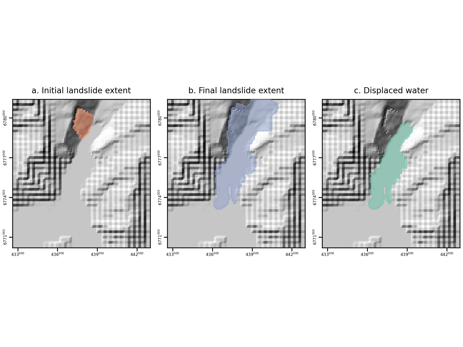
It generates a diagnostic figure that visualizes each area identified.

Fig. 12 An example of the diagnostic output provided by digger.analyze.where_landslide_went.
It also generates a yaml file summarizing information about the landslide size and impact.
initial_area: 2340000.0
volume_left_onshore: 29313930.0
area_onshore: 11520000.0
volume_displaced: 611207616.0
area_displaced: 26260000.0